Aerial views of the flooding in Gore
February 10, 2020
Parts of the Southland town were evacuated earlier this week as the Mataura River rose and heavy rain fell.
The Eastern Southland town of Gore is in clean up mode after the River flooded causing part of the town to be evacuated on Wednesday 5th February.
Heliventures was busy this morning assisting with the evacuation and moving people from A to B. Throughout the day Matt was able to take some aerial pictures showing the level of flooding at present in the Gore area.
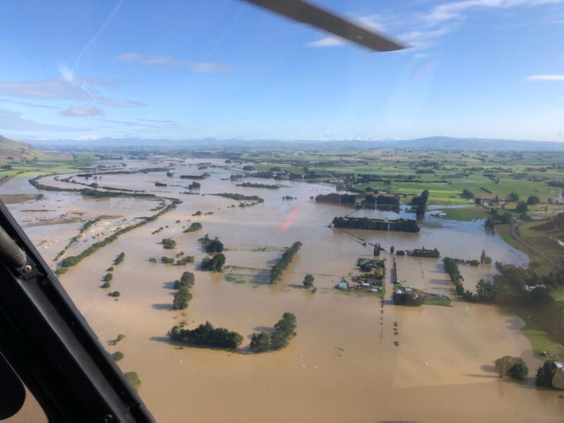
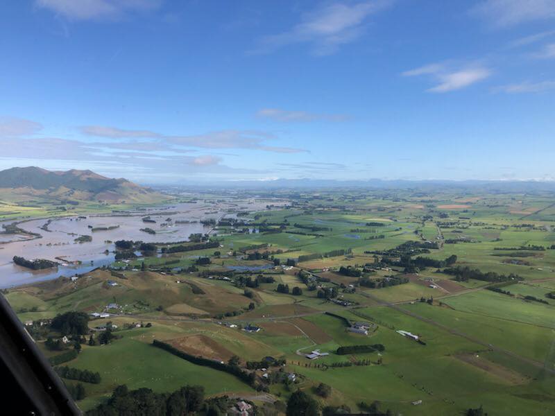


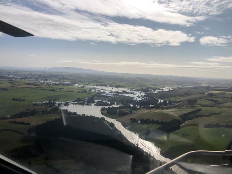
The local communities have been working on the clean-up in flooded areas of Southland this week, as the water slowly disappears and the full extent of the damage is revealed.
The Minister of Conservation Eugenie Sage will be flying over the most flood-affected areas of Fiordland to assess the damage caused to DOC facilities.
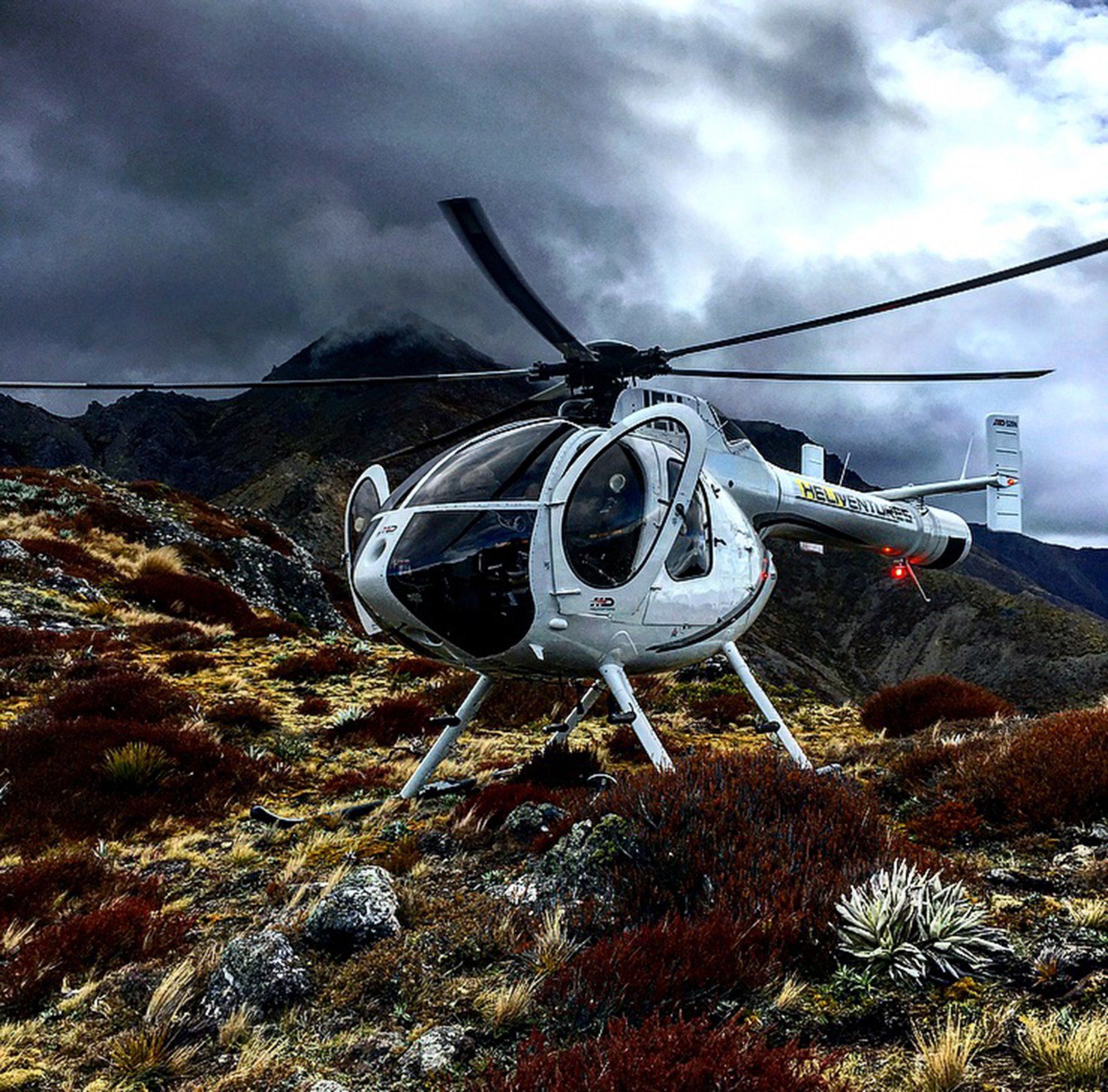
Every booking made for the months of September, October and November goes in the draw to win 1 of 3 Heliventures Prize Packs.
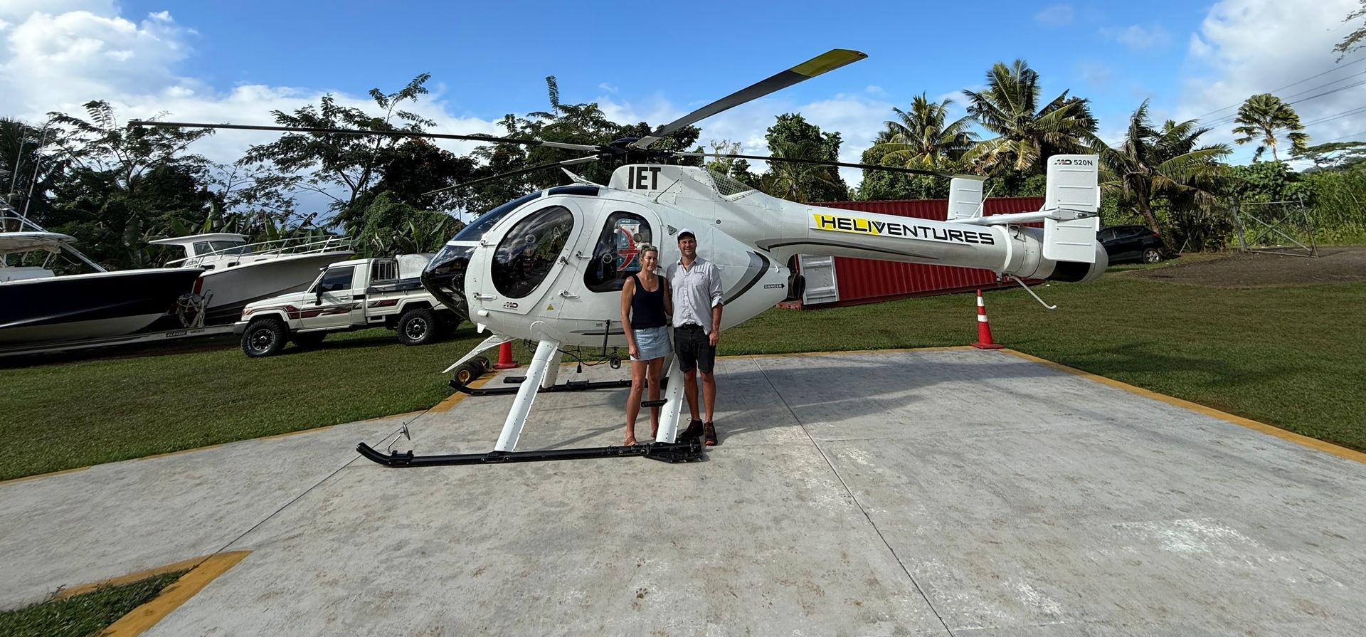
Heliventures completed a rat eradication project on the Island Nu’utele just off the Samoan mainland of Upolou in August 2025 for an international island conservation project.
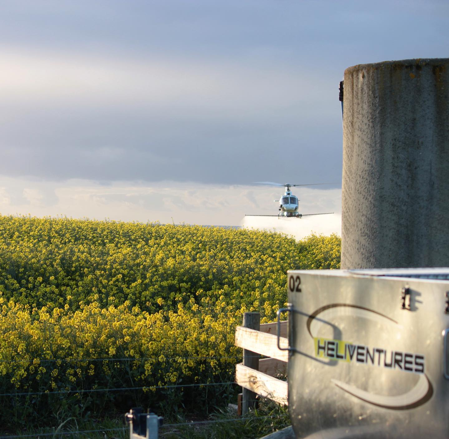
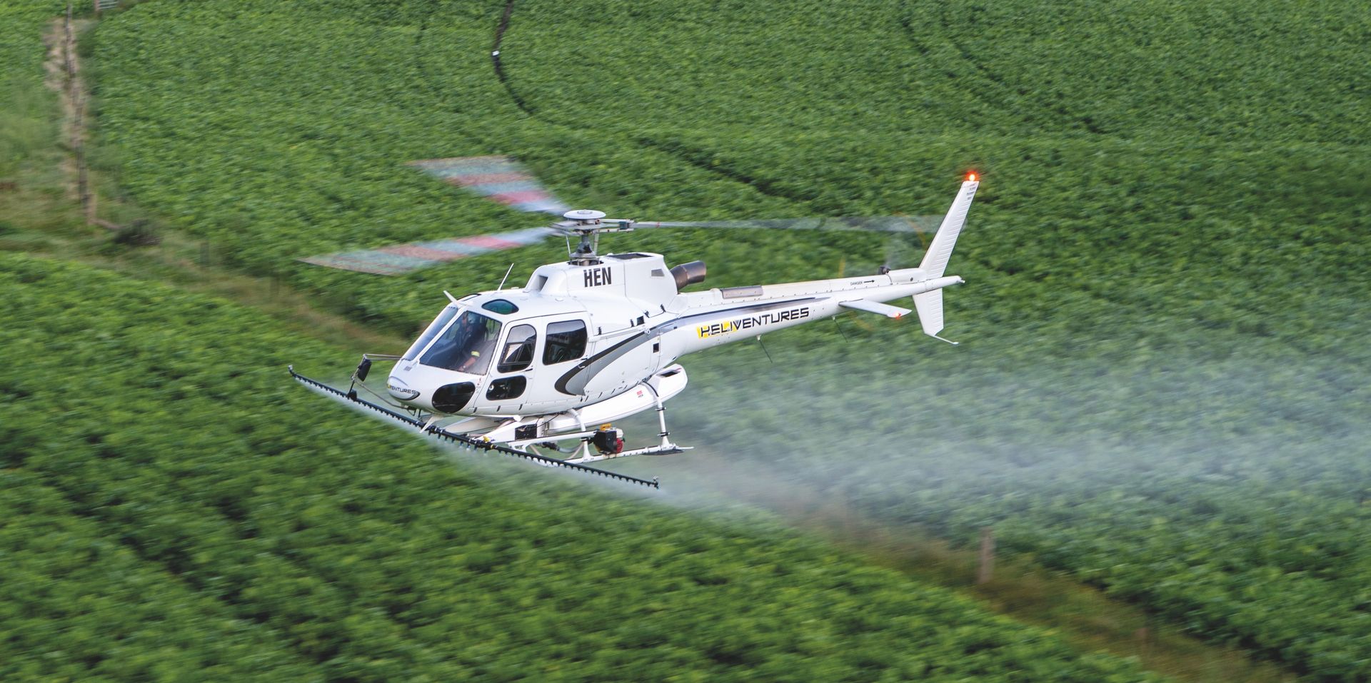
We have a crew of highly experienced pilots and ground crew who are passionate about the services Heliventures have to offer, in particular our agricultural services. Many of our staff have agricultural backgrounds which means they understand exactly what the farmer requires.
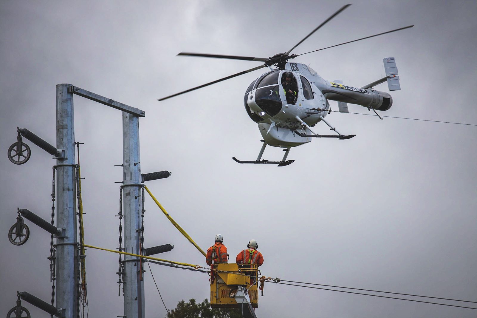
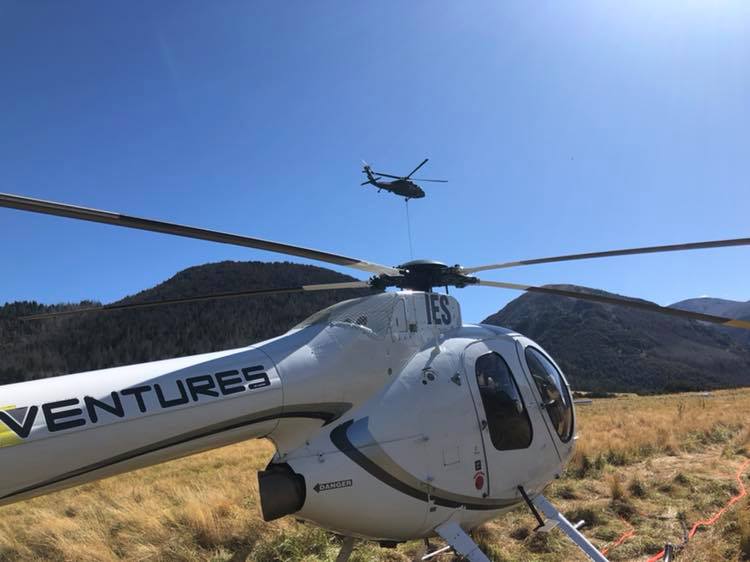
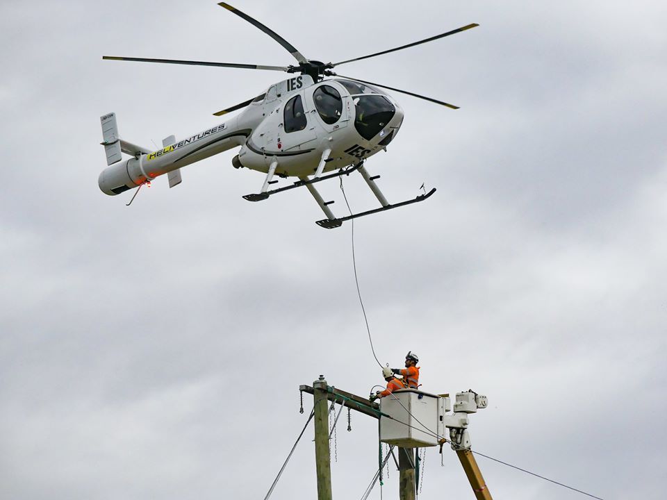
Heliventures NZ was engaged by Network Waitaki to string new power lines for Top Energy between Kaikohe and Ngawha substations near Kerikeri, Northland during June and July this year.
This is part of the Ngawha expansion programme to commission a new 31.5MW geothermal power station early next year.
Back in 2018 Heliventures pilot Matt Irving was working over in a mine in the Northern Territory of Australia when he received a call about two travellers stranded in rising flood waters. A local publican had gone down to the McArthur River to check the water level when he discovered the two men trapped on the roof of their vehicle. The two men had attempted to drive their camper van over a bridge to get to the nearby pub, but had stalled after driving into rising floodwaters on the Tablelands Highway. As the water level began to rise, they clambered up onto the roof of their camper van and had been trapped there for 24hours before being spotted. After the police were called, they contacted the mine to see if it had a helicopter available. Mr Irving was then contacted and asked if he could pull the rescue operation off. Matt and John Waerea, a member of the mine’s rescue team worked with the emergency services to plan the rescue. Mr Irving carefully manoeuvred his helicopter between trees and delicately hovered above the camper van. From there, Mr Waerea was able to jump on to the roof of the camper van that was being rocked by the fast flowing river.
Heliventures partnered with Broadspectrum and Kahu helicopters to perform a transmission tower replacement at the Craigieburn Cutting.
The crew at Heliventures got to team up with Network Waitaki and OceanaGold Macraes recently to help with their power line planning.
Heliventures was able to offer aerial assistance during the planning and re-design of powerlines in the Frasers pit. The current supply conductors were relocated in order to to continue developing and maintaining services for Frasers underground activity.
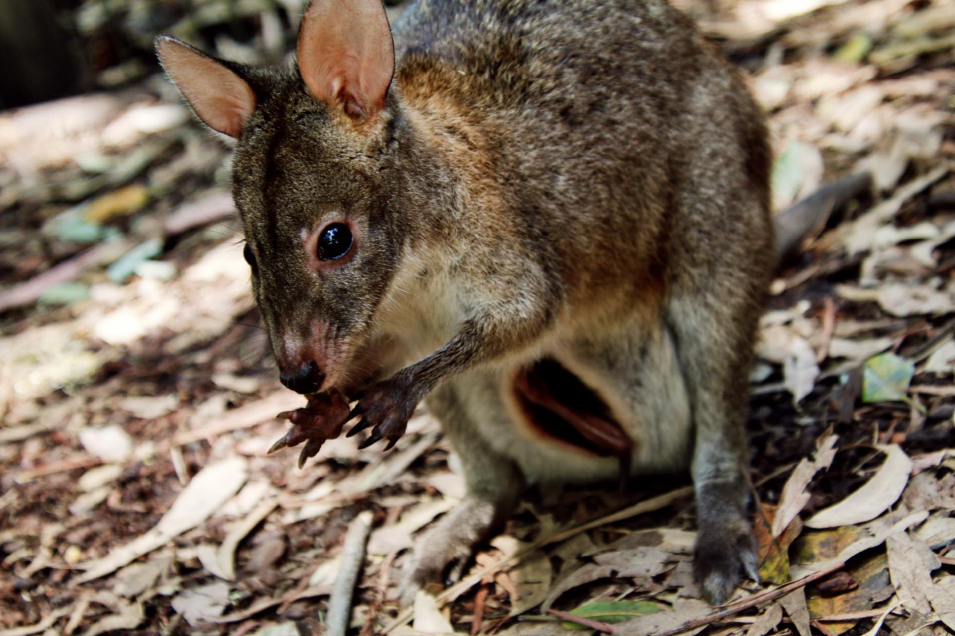
Heliventures provides a number of pest control application services which aim to assist land managers in the protection of their land and native wildlife from Wallabies and various other types of pests.
The team at Trap and Trigger have perfected their thermal imaging systems which is ideal for aerial surveys. This technology is ideal for detecting animals that live in dense areas of the bush such as wallabies. This makes it possible to locate animals for removal or determine whether a species has been eradicated from an area.
Why a scenic flight in a helicopter should be on your bucket list?
Have you ever taken a private flight on on helicopter? Or has it always been on your list of things to try but you just havn't managed it yet? If no then why not? Taking a private helicopter flight should be on your bucket list, especially if you live in or are traveling in New Zealand.
If you're traveling in New Zealand and can't decide what should top your list of places to go then why not go to them all. With a Scenic flight you can explore some of the most unique landscapes and features of the Waitaki region.
On our Coastal route we will fly you along the beautiful and rugged Waitaki coastline where you can marvel at the ‘Global Must-See’ Moeraki Boulders. These are possibly some of the most photographed rocks and boulders in New Zealand!